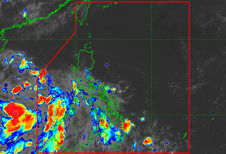
A low-pressure area located off Abucay, Bataan strengthened into Tropical Depression Henry on July 1, 2026, according to PAGASA, resulting in the activation of Tropical Cyclone Wind Signal No. 1 over three Luzon areas.
In its 5 a.m. advisory on Wednesday, the Philippine Atmospheric, Geophysical and Astronomical Services Administration (PAGASA) said Signal No. 1 is currently up over the southwestern portion of Zambales, the western portion of Bataan, and Lubang Islands.
Pagasa weather specialist Chenel Dominguez warned of strong gusts in these areas but assured the public that the wind signals would be lifted once Henry exits the Philippine Area of Responsibility (PAR) on Thursday, July 2..
As of the latest bulletin, the center of TD Henry was moving northwestward at 25 kilometers per hour (kph), packing maximum sustained winds of 45 kph near the center and gustiness of up to 55 kph.
Henry is also enhancing the southwest monsoon or habagat, which is expected to bring occasional rains and thunderstorms to the western portions of the country. Cloudy skies with scattered rains and thunderstorms will also prevail over Metro Manila, Calabarzon, Bulacan, Tarlac, Pampanga, Oriental Mindoro, Occidental Mindoro, and Marinduque due to the weather disturbance.
Meanwhile, Zambales and Bataan should brace for rain accompanied by gusty winds.
Pagasa forecasts Henry to develop into a tropical storm by the time it exits the country on Thursday.
– Clarence Pacaña