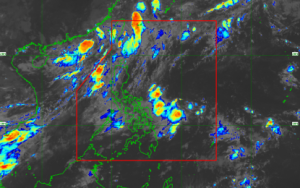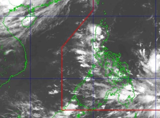
A Low Pressure Area (LPA) currently outside the Philippine Area of Responsibility (PAR) has a medium chance of developing into a tropical depression within the next 24 hours, according to the state weather bureau PAGASA.
As of 8:00 PM on July 20, 2026, weather forecasters pinned the location of the monitored system, designated as LPA 07d, at 1,740 kilometers east of Southeastern Luzon.
Southwest Monsoon (Habagat) to Bring Rains Across the Philippines
While meteorologists monitor the developing LPA, the Southwest Monsoon (Habagat) continues to impact nationwide weather. PAGASA warns residents to prepare for partly cloudy to cloudy skies with isolated rain showers or thunderstorms.
The Habagat is expected to affect weather conditions in the following areas:
- Luzon: Metro Manila, Ilocos Region, Cordillera Administrative Region (CAR), MIMAROPA, Batanes, Babuyan Islands, Zambales, Bataan, Cavite, and Batangas.
- Visayas: Western Visayas and the Negros Island Region.
- Mindanao: Widespread isolated thunderstorms across the region.
Local disaster risk reduction offices advise the public to stay alert for potential flash floods or landslides during severe afternoon or evening thunderstorms. /Clarence Pacaña